
AWJ Engineering
Engineering Consultants
AWJ ENGINEERING
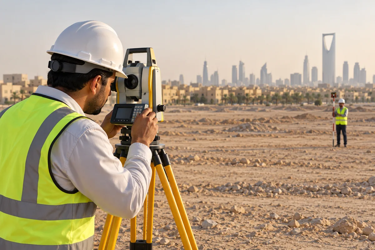
Surveying Services
Every precise decision starts with precise data.
Solutions tailored to your project
Topographic and boundary surveying to support site analysis, drawings and informed engineering decisions.
- Land and topographic surveying
- Boundary surveying
- Site boundary and data analysis
- Setting out columns and foundations
- Accredited survey reports through Balady and Riyadh Municipality
- Plot merging and subdivision
- Real estate unit subdivision
- Title deed updates
- Land amendment and spatial portal update requests
- Data support for design and construction teams
Integration from concept to handover
We review the requirements and available information, define the scope and deliverables, coordinate the engineering disciplines and review technical solutions against project requirements.
01
Understand your project
We listen to your needs and define requirements and priorities.
02
Study and plan
We review the site and its technical and regulatory conditions.
03
Design and coordinate
We develop solutions and coordinate across engineering disciplines.
04
Monitor and deliver
We review quality, track the schedule and organise project deliverables.
Your next project starts with an idea.
Share your project details and let us turn your requirements into clear, practical engineering solutions.
AWJ Engineering
A Saudi engineering consultancy. We accompany your project from concept and planning through design, supervision and handover.
AWJ Engineering Consultants Co.
Discover AWJ
Let’s discuss your project
© 2026 AWJ Engineering Consultants Co. All rights reserved.